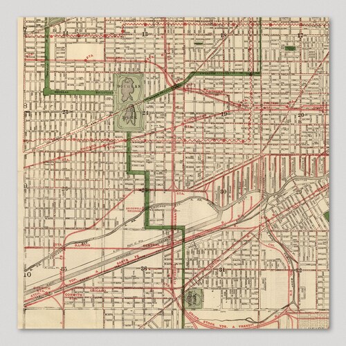
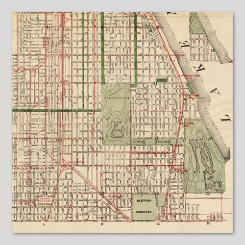
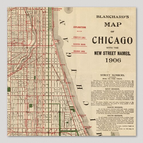
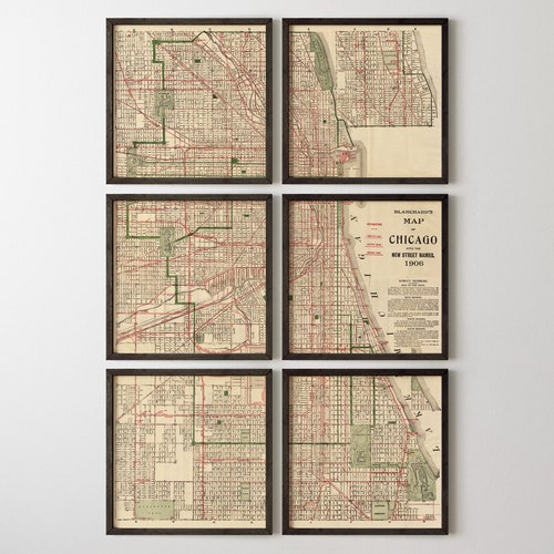

Archival print reproduction of an antique map of Chicago from 1906 by Rufus Blanchard.
MEDIUM: Art print
PAPER: 100% cotton, museum quality, heavyweight, matte factory finish
INK: Archival pigment inks
SIZE: 12x12 inches per print
This map is sold as a print set split into 6 individual prints. Each print is sized to fit perfectly in a 12x12 inch frame without a mat.
PLEASE NOTE: Frames are not included.
ABOUT THIS MAP
Detailed early 20th century street map of the city covering an area north to Diversey Ave (with an inset in the upper right showing the area between Diversey and Lawrence Ave.), west to Pulaski Rd, and south to 71st St. All of the street car lines, elevated train lines, and railroads lines are shown with stations.
Browse all CHICAGO maps in our shop:
https://www.etsy.com/shop/BlueMonocleMaps?search_query=chicago
Browse all US CITY maps in our shop:
https://www.etsy.com/shop/BlueMonocleMaps?section_id=11234782
Browse ALL prints in our shop:
https://www.etsy.com/shop/BlueMonocleMaps
Product code: Old Chicago Map Art Print factory Set, 1906, Archival Reproduction, Set of 6 Prints, Unframed